Graphic designer Faye Levine works behind the scenes to ensure the college’s external communications and branded products are picture-perfect.
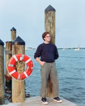
Senior immersive media design major Holden Denyer connects digital experiences with the physical world.
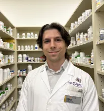
Isaac Robinson credits great teachers, scholarships and his job at Giant for guiding him “home.”

It’s the first time this Indian Ocean climate pattern has been connected to the recent years’ unusually high temperatures.
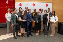
This year's awardees were selected from a pool of hundreds of nominations from the Science Terp community.
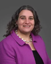
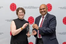
Through multidisciplinary partnerships and a bit of weather science, Elana Fertig (M.S. ’05, Ph.D. ’07, applied mathematics & statistics, and scientific computation) aims to make cancer a predictable and manageable disease.
The funds administered by AIM support classes in 10 colleges and schools across the university.
They were honored for their research exploring the foundations of quantum science.
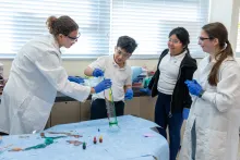
A hands-on UMD course gives undergraduates the opportunity to share the magic of chemistry with third graders in Prince George's County.

A new study from UMD chemical physicists could lead to more stable quantum memory, safer fuel storage and an improved ability to measure comet temperatures in outer space.